If LIDAR data isn't available, you can do pretty detailed 3D mapping with a regular camera and UAV, using photogrammetry/structure from motion. A Phantom or almost anything that flies with a reasonable camera will do. Of course the better camera you use, the better the results. Flight restrictions over populated areas apply, check your local legislation :)
commercial solutions: https://pix4d.com/, http://www.agisoft.com/, http://www.dronedeploy.com
open source: https://github.com/OpenDroneMap/OpenDroneMap
I suppose no such ink/coloring-the-top-layer thing exists.
For example, this was ~$100. https://raw.githubusercontent.com/joferkington/scipy2015-3d_... I tried uploading and pricing a "hollow box" version, but it saved less than $5.
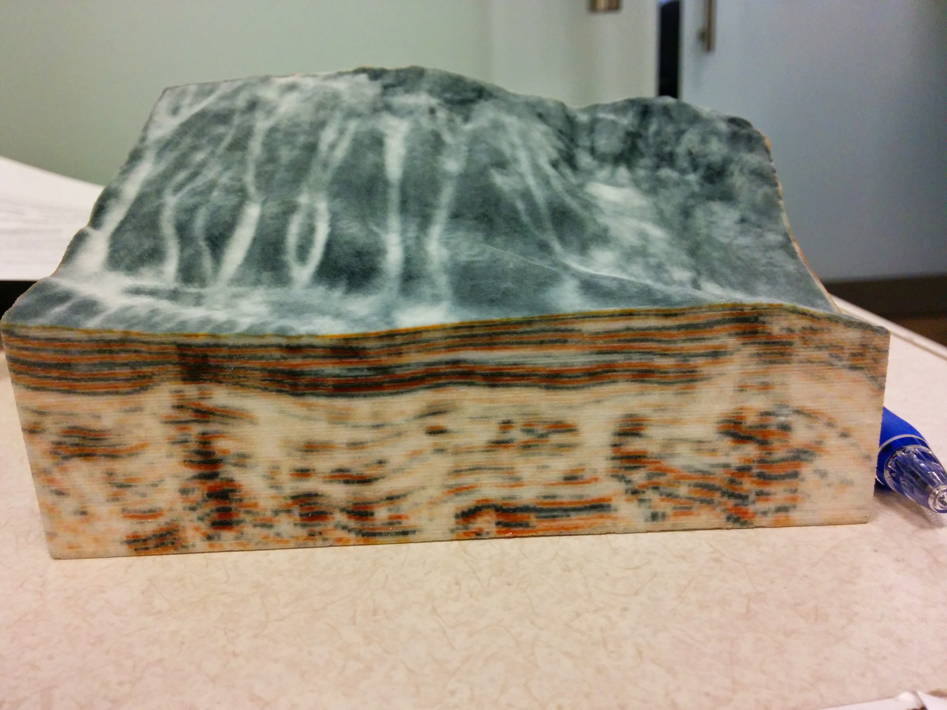
However, for this one, using a "hollow box" saved ~30%, (it's a comparable size, but much taller): https://raw.githubusercontent.com/joferkington/scipy2015-3d_...
We are developing a system for topology mapping like this specifically.
Check the mission out: http://www.asteroidmission.org/ and the company! http://www.advancedscientificconcepts.com/
If anybody is interested, send me a message.
I always lament that STL was the format 3D printing software ended up with (essentially a bag of triangles, usually in text format). Far better if slicers could take a true mesh, and not have to guess if coincident points on separate triangles actually amount to the same vertex, except of course for places where it doesn't!
http://www.lightware.co.za/shop/en/drone-altimeters/51-sf11c...
The main issue you will face is permission to fly drone at 100m or so. In US there are way too many laws to do this.
It looks like aircraft was flying at 200m for above data. London's tallest structure are at 300m+ so this is not doable in all areas.
Also note that software like pix4d and AutoDesk 360 can construct 3D models purely from drone images or videos. I'm not sure how much better LIDAR models are compared to models from structure from motion.
An interesting map is an exaggerated-relief map of Europe as far east as Moscow, with marks for all known battles. Over the centuries, they were mostly in the same places. It gives you a sense of how geography affects politics.
This was recently posted to /r/openstreetmap:
I really don't have a sense of how useful such a map would be, but it's exactly a 3d extrusion of OSM data.
I don't really have anyone close that is visually impaired but this would be super cool to have at 3D printing events and such. Very neat idea.
http://dougmccune.com/blog/2014/12/30/using-shp2stl-to-conve...
I followed few links and ended up here but not sure if this is the one they used to collect data: http://geosurveysolutions.com/rapid-surveyor
http://www.dcnr.state.pa.us/topogeo/pamap/lidar/index.htm#cl...
Looks like Allegheny county was done in 2006.
What is nice about the point cloud data is that they classified each point as ground, road, water, etc
There was some discussion of the LIDAR data-set when it was released: https://news.ycombinator.com/item?id=10379279
https://data.sfgov.org/Geographic-Locations-and-Boundaries/B...?
We're working on importing this data into OpenStreetMap:
https://wiki.openstreetmap.org/wiki/San_Francisco_Building_H...