If I'm in an unfamiliar area, I really don't want to theoretically save a few seconds by taking a shortcut via little maze of twisty passages, all different. Just give me a straightforward route using a highway, please.
(edit: typos)
I don't know how it is in other countries but it's a big issue for me in the UK as we have a large network of little country roads that are frequently single (or 1.5) lane and poor visibility. I've had a few journeys in areas I didn't know and Google maps took me down lots of twisty country roads to save a (theorised) couple of minutes/miles compared with sticking to the simpler main road.
Just recently Google took me downhill via a ~14% grade windy road with blind curves in Yorkshire instead of an extra 3 minutes on the A road. Immensely disliked.
Also, during heavy traffic, I'd be fine with making 30 turns and continuously recalculated rerouting if it saved significant time.
* Scenic routes (i.e. navigate as far away from buildings and as close as possible to water, forest)
* Least polluting routes (i.e. least amount of traffic lights, most time spent in the optimal "speed vs. pollution" of your car)
[1] https://techcrunch.com/2021/10/06/google-maps-launches-eco-f...
Make an econometric model of my previous recorded routes with explaining variables: elevation, distance driven already, time driven already, time of day, temperature, road quality, wind direction, rain and explained variable: speed for the next kilometer.
Predict my speed on potential routes based on that.
Calculate routes taking these predictions into account.
The trade-off for customisation/personalisation is slower calculation times. Most fast routing algorithms work by precalculating the best routes, which obviously doesn’t scale if everyone has their own “best”.
(I run cycle.travel, which prioritises one good, opinionated routing model over customisation.)
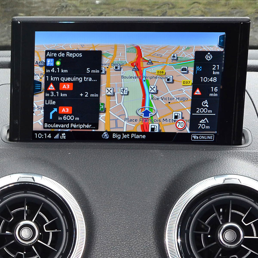
My car's built-in navigation presents me with the most straightforward route by default, and shows me options when they approach. If I take one of those options, it has a personalisation setting that will prefer that option the next time.
It looks like this: https://oldeststars.com/images/cd0008d03482460438c9ac135b372... (not my picture)
I like to review the proposed route before starting out (and when on the road if I am not the driver), and if I don't like the options presented, I sometimes add an intermediate destination to influence the route-finding, even though I have no intention of stopping there.
They also tend to have features that aren't available on Google Maps, like being able to avoid roads that might not be doable with certain vehicles/tows.
- The offline experience is garbage. Default behavior should cache large routes offline immediately when I’m on WiFi.
- partial connectivity experience is garbage. Stalled map loads, freezes, etc while driving through a 1x cell service area, even if map was pre-downloaded.
- ads for places I don’t care about.
- unable to automatically show places I do care about.
- searching for exits sucks
- searching for rest areas sucks
- measuring distances requires interrupting the navigation
- no way to view current speed, elevation
- filtering for restaurants with drive throughs very frequently ignores the “with drive through” part of the query.
- gas prices come and go on gas station display. No way to filter on price.
- why in the world can’t we filter based on restroom cleanliness?
- trailer towing friendly parking lots?
- enter max range between drives, give me fuel stops optimizing for gas cost or cadence of stops. Mapquest did this in the early 2000s FFS and you printed out the result.
- overlay recent breadcrumb history on map without it getting blown away any time navigation is interrupted.
- search map without interrupting navigation in a way that doesn’t assume something should be added as a waypoint. (Sometimes people use phones for more than one thing at once on a 12 hour road trip.)
The list goes on and on. There are like 4 use-cases that work with google maps and they are all for basic users and nothing else.
TomTom has better traffic information, way better guidance on complex roads (google maps will tell me to take the exit, and it small font it says 2400m, which is the next exit). It has better traffic cam warnings, shows max speed more reliably etc.
But also it is slow and clumsy to search for a destination, especially if you do not have the exact address (like a shop by name).
As I have practically unlimited data and good coverage everywhere I go, offline maps are more of a drag than a plus. Just saw amigo mentioned, will check that out now
Google doesn't make Maps because you pay them for it, but because they want to know where you are, where you're going and how long you look at what. So they're not going to care much about how well it works for you without an internet connection, and the offline map probably only exists to check the checkbox and stop people from going to the competition.
* Unless you live somewhere where the "one free region unlock" doesn't work like I do, but I was happy to pay
With google maps I am being dragged through streets that barely have any asphalt because someone with a tractor went through there. I have a tiny road nearby that is more of a sidewalk for locals, goes tightly between buildings. Google proposes it as a route for a few years now, but only Uber drivers try that - most cars have to fold mirrors to get through. But if someone tries, google treats it as a success and proposes it for everyone. It's painful because all the data about that road and surroundings is there, and when in offline mode it would never let me drive through there.
A lot of friends went for smaller map suppliers, I'm using Osmand~ on longer trips, or that new TomTom app "amigo", as these work like maps used to work 10 years ago - prioritize for typical routes, not the crazy ones. If Osmand had a database with speed cams as big and dynamic as the competition I would never look back. But now I just use two maps - one for route, one for speedcams and warnings.
But the route recording and prediction of time could still be a lot better.
EDIT: actually I've never checked but it's open source - so I might fix my pet peeves (cutting corners in route recording for example).
The actual article is titled "How routing algorithms prioritize safety over speed in rural Finland"
That's not really a problem in itself, it can't be omniscient. The problem is that there's no way of dealing with it. You turn off, to take the only route available... and the apps reroute you to the same road you can't take. You then have to manually navigate until it gets the hint and routes you down a passable road.
Maps is also heavily dependent on a stable internet connection, strobing and not letting you start a journey until it's connected. Caching your local map is a manual step you have to do repeatedly.
If you stop for fuel & disconnect your phone while you go to pay (as the station might recommend) then you might find it has discarded your journey by the time you get back with no path to re-joining it. Fine if you're going to a single destination and have a good internet connection. Not fine if it's multiple points or - as tends to happen in the middle of nowhere - you can't connect to the internet.
Multiple points are a problem in themselves though. The apps support destination-based routing but are completely foreign to the concept of journey-based routing. In 2022, if you want to drive a scenic route along a given road, your best bet is to take a notepad and jot down the path yourself.
And of course the voice assistants are broken. Garbage. It's absurd we convinced ourselves they stopped being awful.
Time will always be a nice easy to quantify way of comparing routes but as someone who generally doesn't have to get places quickly I'll usually prioritise a more pleasant journey over the shortest one - so many (personal) ways to define that and not so easy to quantify!
Personally I've had some great drives where google maps has a 'x mins longer' route show up that I can see goes down some twisty country road vs the boring main road.
[0] https://www.theguardian.com/technology/2021/oct/06/google-ma...
There was an alternative that used mostly highways and decent roads that only took 10 more minutes.
I still don't understand why the curvy road was the default option.
1. https://edition.cnn.com/2019/06/26/us/google-maps-detour-col...
Because when the locals punch in an address across the mountains and it says highway they ignore it and take the shortcut so the ML learns the shortcut but not the "except in blizzard conditions" exception.
My GPS took me 5 miles off of a major interstate and then tried to have me drive 20 miles on an unpaved road.
I turned around and followed the interstate. The GPS tried to get me to take every exit. When I took the exit from the printed directions, it was only a few minutes to my destination.
(For those of you familiar with the Bay Area,) this GPS had me exit El Camino ave onto University Ave in front of Stanford, and then immediately get back onto El Camino. It didn't lead me through the underpass. (I think I got off because I thought the destination was near University Ave.)
For instance Tesla's in car routing is pretty good for getting somewhere quickly so long as all the roads alog the way are of good quality. But if there is a single lane country road that cuts a few minutes off a journey it will quite happily send me down it regardless of how suitable it is for a larger than average car with only 13 cm of ground clearance (Model S).
I can tell it not to use motorways (perhaps because I want a scenic route?) and ferries (because they are expensive) but I can't tell it to avoid unmetalled roads.
Most of the others that I have tried aren't much better.
It's not economical to solve the TSP perfectly for real-world problems, so heuristic algorithms are used to deliver good-but-not-perfect solutions(s).[0]
0. https://en.wikipedia.org/wiki/Travelling_salesman_problem
It really makes me wonder if with all the navigation data from real users they couldn't already done something better than this.